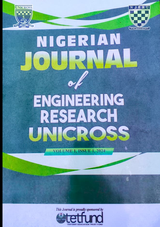
NJERUNICROSS Journal Logo
Nigerian Journal of
Engineering Research
Faculty Of Engineering UNICROSS

Open Access Journal

P-ISSN: 2971-785X
E-ISSN: 3141-4095

  • HOME
  • ABOUT
    • Editorial Board
    • Editorial Policy
    • Journal Statistics
    • Open Access and Copyrights
    • Ethical Guidelines for Journal Publication
  • GUIDELINES

    For Authors

    • General info for authors
    • Editorial process
    • Submitting a manuscript
    • Manuscript organization
    • Tables and figures guidelines
    • Guidelines for writing references
    • Authorship declaration and conflict of interest
    • Article Processing Charge (APC)

    For Reviewers

    • General info for reviewers
    • Reviewing process
    • Reviewing form
    • Conflict of interest
    • Publication policy and ethical considerations
  • ARCHIVE
  • CONTACT
  • ICEST

Login / Register

P-ISSN: 2971-785X
E-ISSN: 3141-4095

Back to previous page

Volume 1, Issue 1

Research Article

Flood Inundation Mapping of Calabar River Using Hec-Ras and QGIS

Published: December 11, 2023 | Volume: 1 | Issue: 1

Download Article Cite
View Count: 30 Page No: 95-108

Flood Inundation Mapping of Calabar River Using Hec-Ras and QGIS

Ibiang Ebri Ibiang1 corresponding author email *, Hycienth Uka Edubi2

Published: December 11, 2023 | Issue: Volume 1, Issue 1

Page No. 95–108

Read More

Corresponding Author: Ibiang Ebri Ibiang

Email: ibiangebri@unicross.edu.ng

1 Department of Civil Engineering, University of Cross River State. Calabar-Nigeria

2 Department of Civil Engineering, University of Cross River State. Calabar-Nigeria.

Received: November 20, 2023 Reviewed: November 27, 2023 Accepted: December 11, 2023

Abstract

Floods pose significant challenges worldwide, affecting communities, ecosystems, and economies. In Cross River State, Nigeria, the Calabar River, with its complex river network and climate conditions, is particularly vulnerable to recurrent floods. Recent events, such as the destructive flood in Cross river Local Government Areas highlight the urgent need for comprehensive flood management in the region. This study addresses the ongoing flood problem by utilizing a combination of HEC-RAS and QGIS for detailed flood mapping. Geospatial data extraction from Google Earth Pro, Digital Elevation Model (DEM) development in QGIS, and high-precision floodplain mapping using HEC-RAS form the core of the research scope. Three simulation Profiles with varying discharges of 1189.31, 1727.33 and 2491.88 cubic meters per second were used. The study found that the flow in the channel is subcritical, with a Froude number between 0.2 and 0.72. The results revealed that Profile 1, 2 and 3 resulted in an inundation area of 3365733.24, 3770894.64 and 3994215.90 square meters respectively with Profile 3 resulting in the highest flooding area. The findings reveal subcritical flow in the Calabar River, indicating slow and calm flow conditions. The study's key contribution lies in providing a detailed Flood map, offering crucial insights for disaster preparedness and risk mitigation. These findings highlight the importance of comprehensive flood mapping and robust risk assessment in flood-prone regions provides practical tools for enhancing flood resilience in the Calabar River region and beyond.


Keywords: QGIS, HEC-RAS, Discharge, Calabar River, Nigeria.

Article Statistics

Total article views
How many readers opened this article page
30
Total article downloads
Times the PDF file was downloaded
0

Share

Cite

APA
Ibiang Ebri Ibiang et al. (2023). Flood Inundation Mapping of Calabar River Using Hec-Ras and QGIS. Nigerian Journal of Engineering Research, 1(1), 95-108. https://izlik.org/JA28WS58XL
AMA
Ibiang Ebri Ibiang et al. Flood Inundation Mapping of Calabar River Using Hec-Ras and QGIS. Nigerian Journal of Engineering Research. 2023;1(1):95-108. https://izlik.org/JA28WS58XL
Chicago
Ibiang Ebri Ibiang et al. 2023. \"Flood Inundation Mapping of Calabar River Using Hec-Ras and QGIS\". Nigerian Journal of Engineering Research 1 (1): 95-108. https://izlik.org/JA28WS58XL.
IEEE
[1] Ibiang Ebri Ibiang et al., \"Flood Inundation Mapping of Calabar River Using Hec-Ras and QGIS\", Nigerian Journal of Engineering Research, vol. 1, no. 1, pp. 95-108, Dec 2023. [Online]. Available: https://izlik.org/JA28WS58XL
MLA
Ibiang Ebri Ibiang et al. \"Flood Inundation Mapping of Calabar River Using Hec-Ras and QGIS\". Nigerian Journal of Engineering Research, vol. 1, no. 1, Dec 2023, pp. 95-108, https://izlik.org/JA28WS58XL.
Vancouver
1. Ibiang Ebri Ibiang et al. Flood Inundation Mapping of Calabar River Using Hec-Ras and QGIS. Nigerian Journal of Engineering Research [Internet]. 2023 Dec. 11;1(1):95-108. Available from: https://izlik.org/JA28WS58XL

INDEXED BY

Crossref — Journal Indexing Database DOI — Journal Indexing Database Index Copernicus International — Journal Indexing Database EZB Electronic Journals Library — Journal Indexing Database EuroPub — Journal Indexing Database Research Organization Registry — Journal Indexing Database Wikidata — Journal Indexing Database Research Bible — Journal Indexing Database ISSN — Journal Indexing Database Google Scholar — Journal Indexing Database

NJERUNICROSS JOURNAL

Sponsored by:

TETFund Logo — Sponsor of NJERUNICROSS Journal

Quick Links

  • Home
  • About
  • Guidelines
  • Contact

Contact Us

Faculty of Engineering, University of Cross River State

icest@unicross.edu.ng njeru_@unicross.edu.ng

License

Creative Commons Attribution 4.0 International License
This work is licensed under a Creative Commons Attribution 4.0 International License.

Articles published in the journal are published under a Creative Commons 4.0 International License. For the sections taken from the articles, it is obligatory to cite in accordance with the citation rules.

© 2026 Nigerian Journal of Engineering Research. All rights reserved.

Start typing to search available articles...